This was (probably) my last trip to Lulworth Cove as hf is selling/has sold their house there and it is closing in October. I was there for 4 nights – self-guided walking. I didn’t arrive until 5pm on the Monday, so had the scone with jam and cream and 2 cups of tea but didn’t bother with the introductory walk as I have done it before.
On the Tuesday it was raining! I was the third down for breakfast as no-one was hurrying because of the rain and everyone was doing self-guided. I had a leisurely breakfast and took my time over getting ready and then drove to Kimmeridge to visit the Etches Collection. As the Ranges were closed that meant the long route via Corfe.
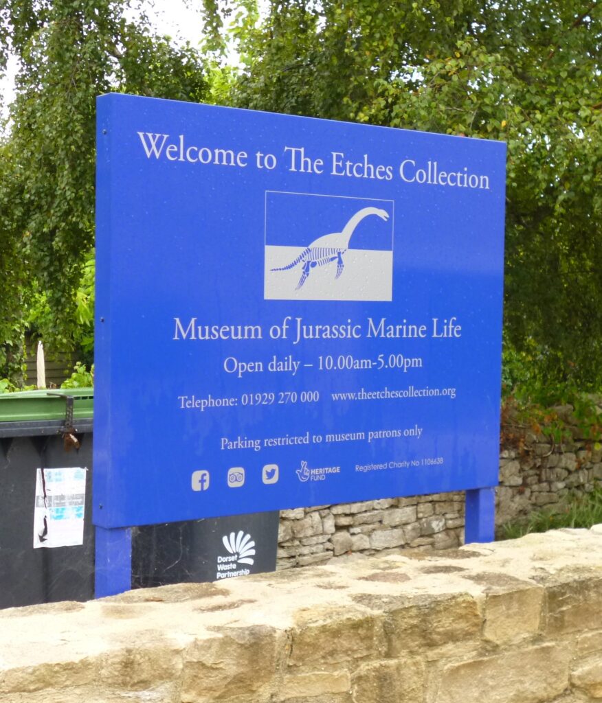
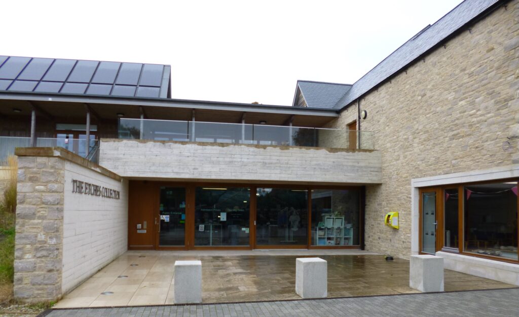
It is an amazing collection of Jurassic fossils, found by one man, Steve Etches, in the Kimmeridge area. They are very impressive and well-presented and explained. There were even fossils where you could see the fossilised food (other animal) they were eating inside them! I spent most of the morning there – with a break for coffee in the cafe/restaurant opposite.
Afterwards, I ate half my lunch by the car and then decided to walk down to Kimmeridge Bay, having obtained directions from a man in the museum. The trouble was the footpath he told me about stopped halfway, so I had to go onto the road.
I the saw a stile labelled to the bay, so crossed it into a field – but couldn’t find an exit from the field that didn’t have barbed wire or an unopenable gate. By then it was raining quite hard, so I gave up and walked back to the car, at the museum, and had the rest of my lunch. Another walk where I got lost?
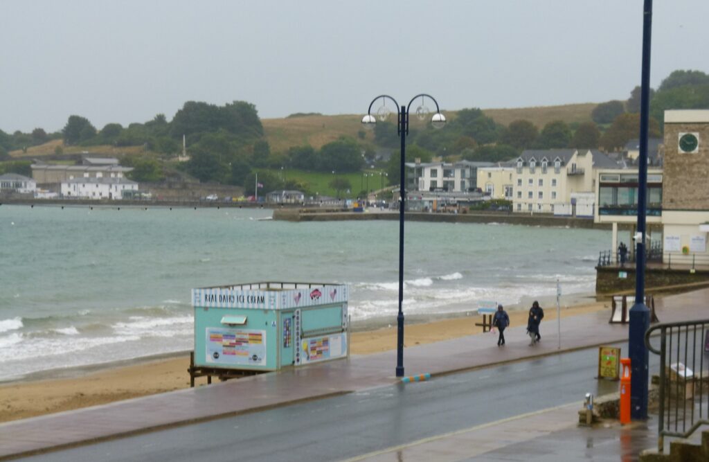
I then decided to head to Swanage and after driving round it 3 times I found the short-stay car park. I bought a bottle of water, as I had forgotten to bring a small one on holiday, and then went to look at the sea.
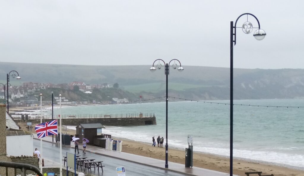
It looked grey, cold and wet – so I drove back to the hotel and had a cup of tea there.
On the Wednesday it was raining again in the morning, but the weather forecast suggested that it might stop. I considered going to Weymouth but decided I didn’t want to drive again, so having been the 6th down to breakfast I took things very slowly and spent some time reading my book. About 11.30, I got ready and started on a walk labelled “Circuit to the top of Lulworth Cove”. By then it had stopped raining, so I started on the path up to the Durdle Door campsite. This is not the steep path up from the car park, but a more gentle and pleasant walk.
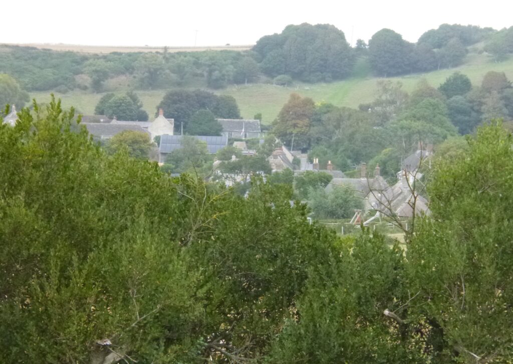
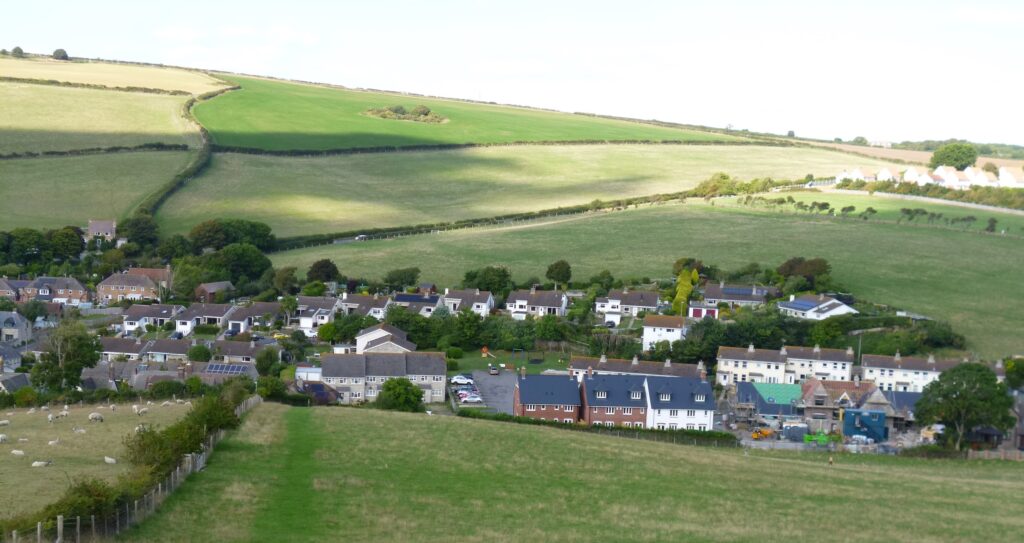
It was through green fields and had good views back to the cove and over the village.
After the campsite there was a path through a wooded area and as there was a picnic table I sat down and ate the first part of my lunch.
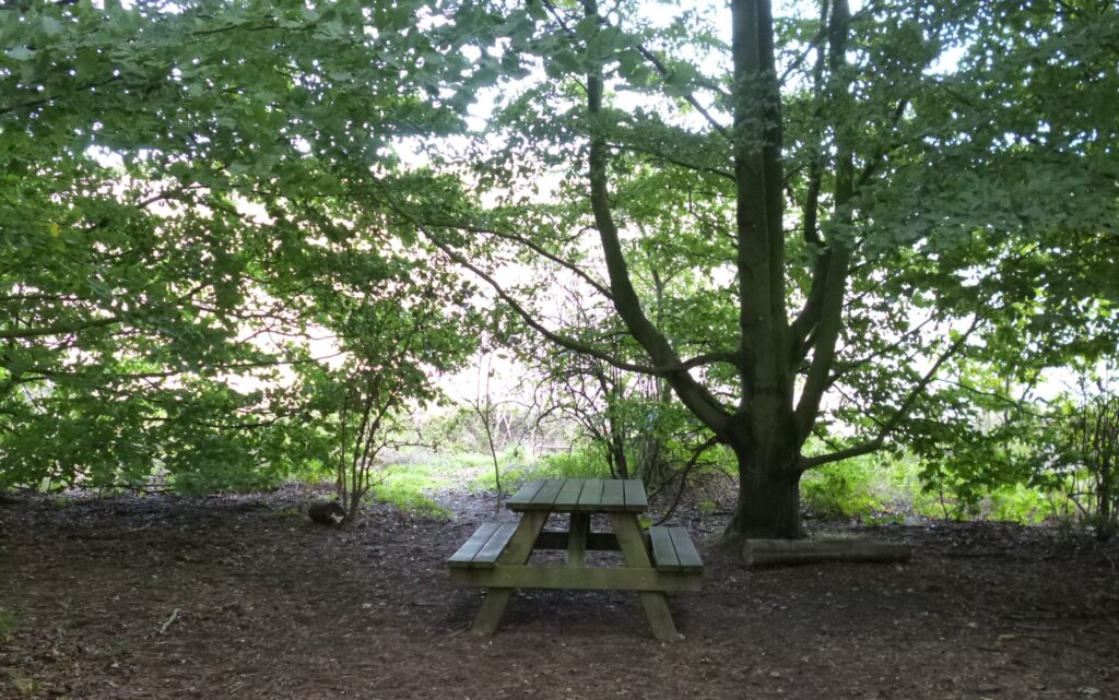
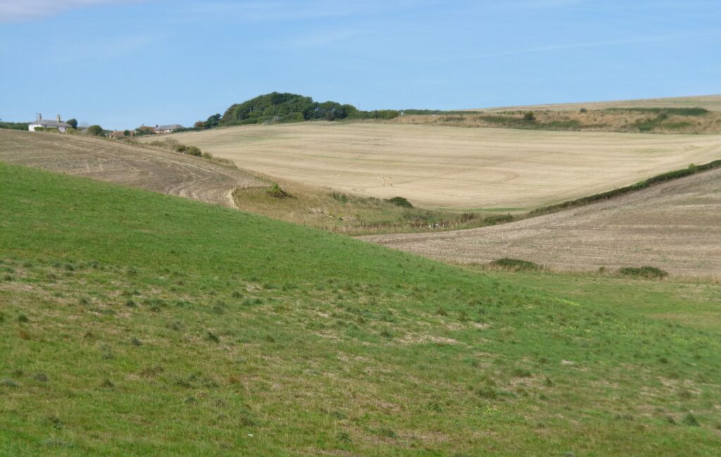
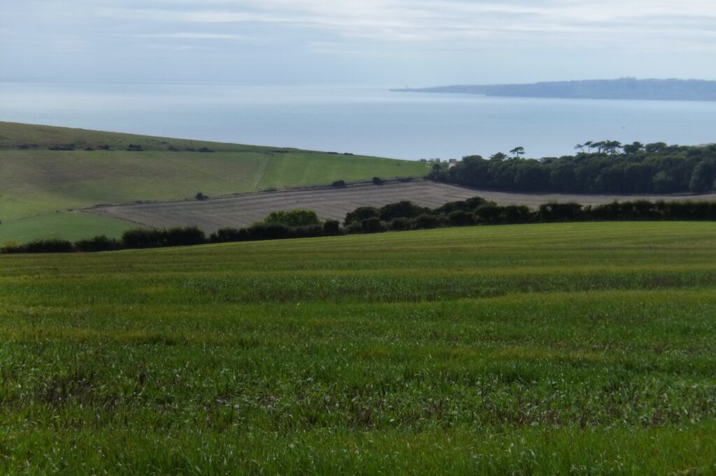
By then it was becoming quite warm and sunny, so the shade was pleasant. After the woods, the next part of the walk was along the top of a ridge with views of the farmland around. It was beautifully peaceful, with the only sounds my footsteps and the wind – firing on the Ranges started later.
At the end of that path there was a stone memorial bench, so I sat there for the second part of my lunch.
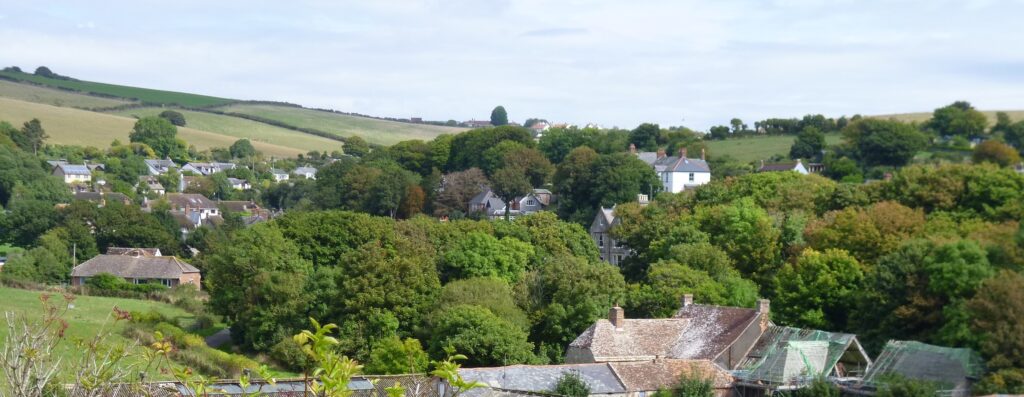
The route then led down into West Lulworth – but I must have taken a wrong turning at some point as I didn’t come out where the route card said and spent some time wandering round West Lulworth to find the correct route. This led up a very steep hill behind the village, after passing through a small animal sanctuary. I had to stop and rest before I attempted to get over the stile at the top, especially as it was now rather warm!
After the stile there was some rough ground that eventually led up to the boundary of the Military Ranges.
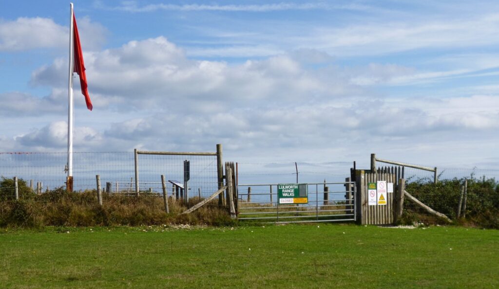
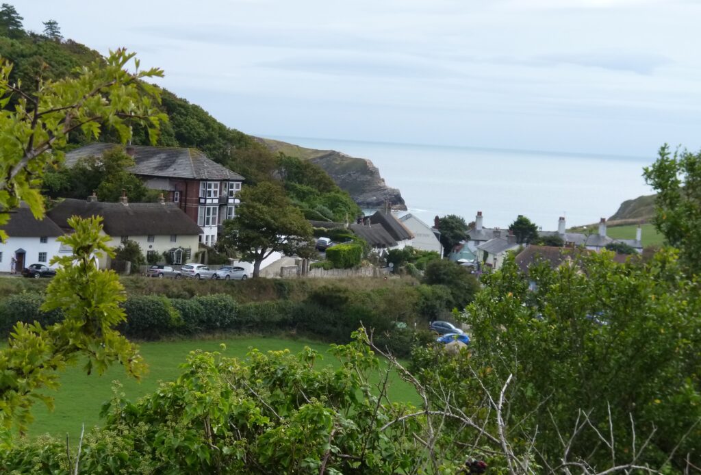
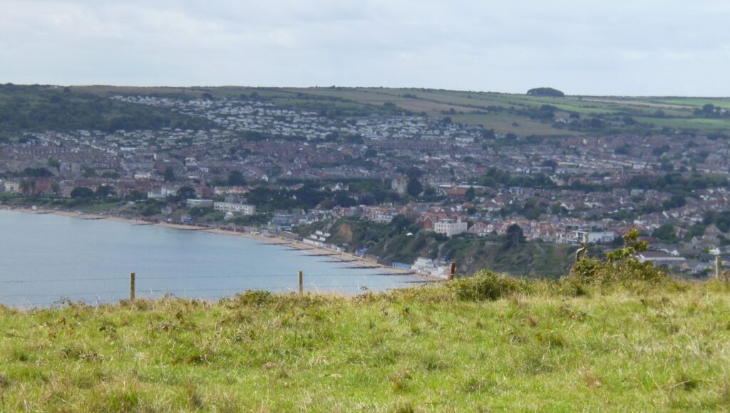
The route followed the edge of the ranges until it reached nearly to the top of the cliff above Lulworth Cove and then followed the shape of the cove. The cliff was not actually safe so the path had been moved away from the edge. At the end there was a path that led down into Lulworth Cove village, so it was a short walk to the hotel.
The Thursday, my last day, promised to be fine, so I managed to be first down to breakfast, by several minutes! And I didn’t arrive at the time breakfast started, either. I had decided to do a walk from Studland and so drove there – once I had got myself organised. Having recently become a member, I parked in a National Trust carpark – all day for free! The man taking the cover off the paymeter helped me scan my card. I could probably have done it but was being slow….
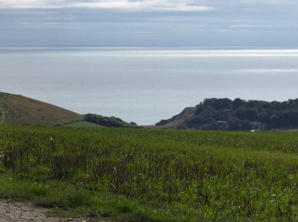
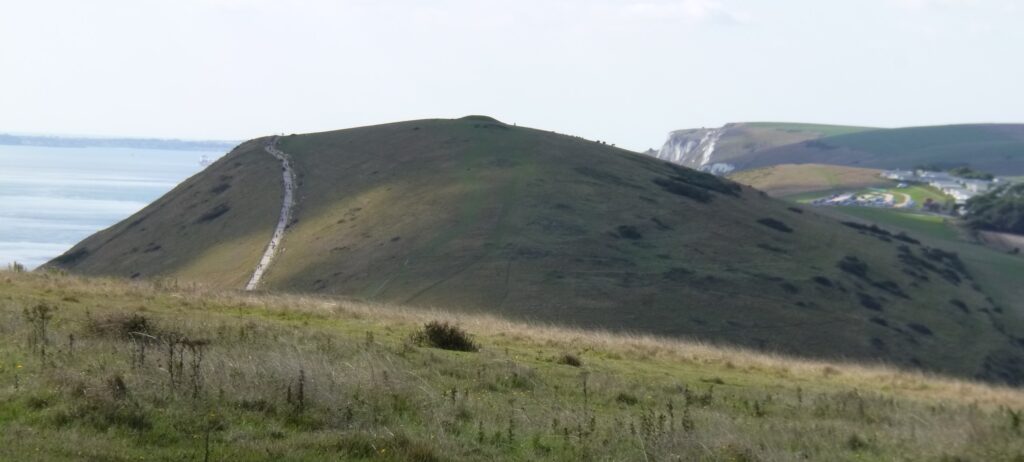
My first problem was finding the start of the route I was supposed to be following – but did manage it after wandering round for a while! The route then went out to Old Harry’s Rocks, which I had done two years ago. The Isle of Wight and the Needles were quite clear across the Solent. The route then continued towards Swanage, but deviated off to the trig point…
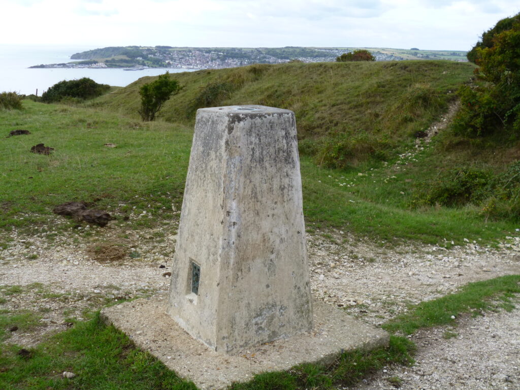
….and then up onto Ballard Down.

Walking along the top there were views…
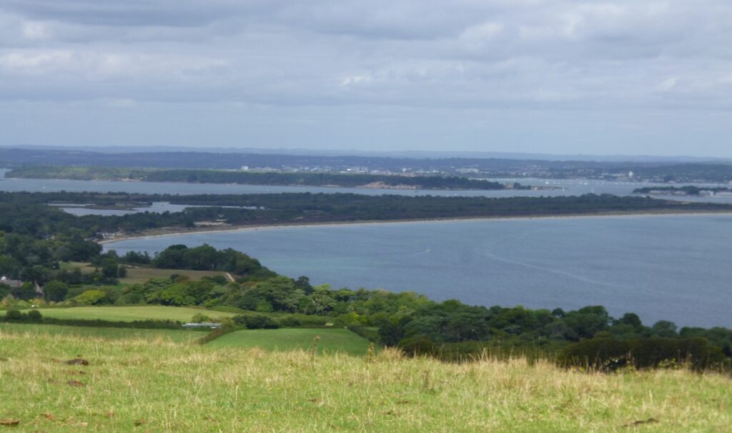
Swanage didn’t look cold and wet from there, but it did look a bit grey! It was a very pleasant walk along the top of the down to the Obelisk.
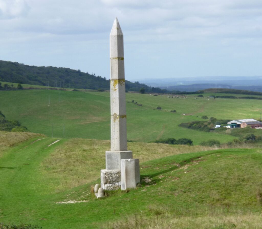
This was originally something to do with water, I think and was moved, but I can’t remember the details. After the Obelisk I left the main path and went down a field and had to walk along a road for a while, before going over a stile on the other side. This led up through gorse and bracken, over another stile and across part of a golf course and eventually on to Godlington Heath.
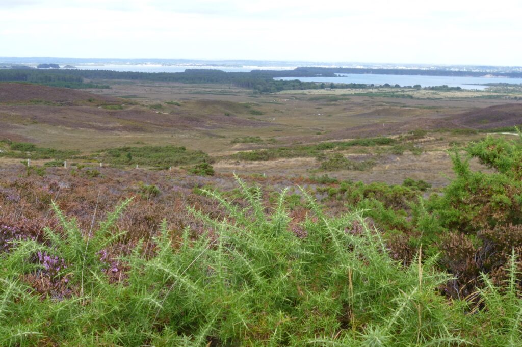
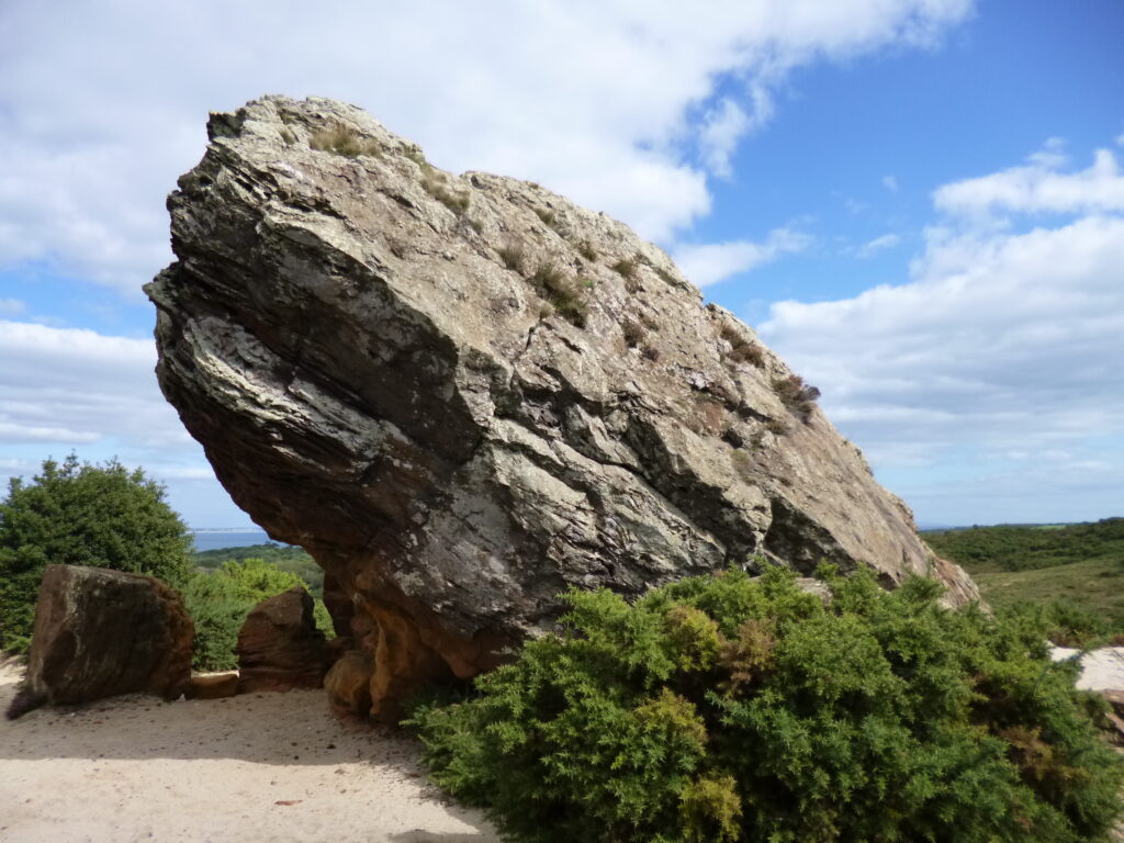
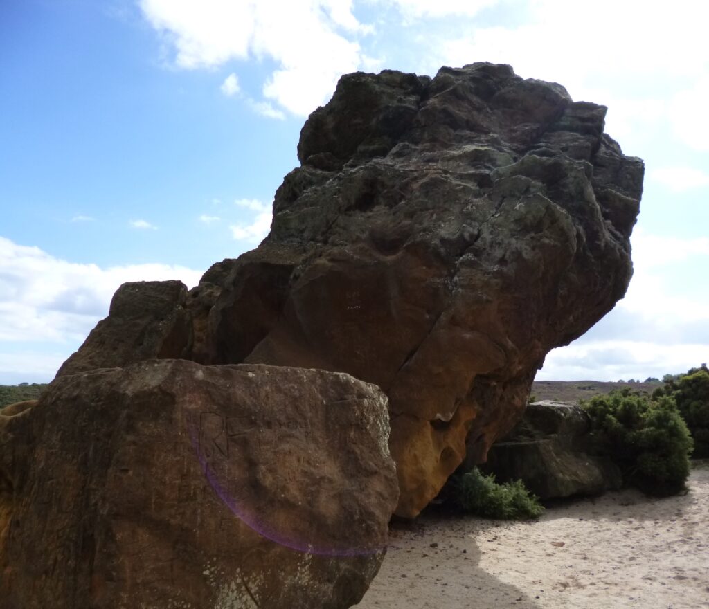
The route then led down towards Agglestone Rock and I stopped to have lunch where I could see it.
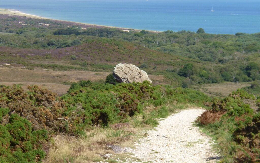
From there I walked down to the rock, which is a lot more impressive from close up.
Leaving the rock, the path went over the heath – including some bits with a boardwalk as it was boggy – and headed towards Studland village. Up to that point I had been doing well and not got lost at all, but I then couldn’t find the path mentioned on the route card and got lost! A woman who was obviously local pointed out the way to the village and from there I was able to find the correct route and got back to the car safely – ready to drive back to the hotel.
So? Not a bad break – if rather damp at times. It would be good if I managed to follow the routes for any walk without getting lost….